)
The Morning Briefing beta test will end on November 30th, 2024. We've launched a new Personal Membership service that includes the Morning Briefing and access to other tools. Click here to learn more.
Snow likely, then clearing and cold. Today, there is a 30 percent chance of snow after 4pm with increasing clouds and a high near 32. Tonight, there will be snow mainly before 1am, with scattered flurries after 1am and a low around 20. More details...
Central Indiana: Single digit wind chills and light snow causing slick spots. The National Weather Service provides forecasts, past weather data, safety information, and educational resources to the public. The Hazardous Weather Outlook for central Indiana warns of single-digit wind chills and light snow causing slick spots on roads. Spotters are encouraged to report snow amounts, and more information can be found on the NWS website. More details...
Social Media Helper: Get ready for a snowy day in Bloomington, IN with a 30% chance of snow in the afternoon and a high near 32. Don't worry, the sun will come out tomorrow with scattered flurries in the morning and a high near 30. Stay warm and enjoy the winter wonderland! ❄️☀️ #inwx #snowyday https://forecast.weather.gov/MapClick.php?lat=39.166&lon=-86.5125&unit=0&lg=english&FcstType=text&TextType=1

Cold air, heavy lake-effect snow, and light to moderate snow across the Great Lakes and Central Appalachians through Monday. Below average temperatures in the Northern Plains and eastern US. Light rain in the Western Gulf Coast. The Weather Prediction Center in College Park, MD, is forecasting heavy lake-effect snow downwind from the Great Lakes through Monday, with light to moderate snow in other regions. Temperatures will be well below average in parts of the Northern Plains and the eastern third of the country. High pressure from Central Canada will bring cold air to the Northern Plains, prompting Cold Weather Advisories. Heavy lake-effect snow is expected in Michigan, while a stationary front will bring snow to the Middle Mississippi Valley and Central Appalachians. Light rain is expected in the Western Gulf Coast. More details...
Upcoming Threats: US Hazards Outlook: Dec 2-6, 2024 The U.S. Hazards Outlook for days 3-7 is provided by the Weather Prediction Center of the National Oceanic and Atmospheric Administration. The outlook includes information on precipitation, temperature, wildfires, and soils. The outlook is updated twice daily during the week and caution is advised when using it over the weekend. Additional resources and links for weather awareness and preparedness are also provided on the website. More details...
Today: No thunderstorms forecasted for today. The Storm Prediction Center's Convective Outlook for November 30, 2024, indicates that thunderstorms are not forecasted for the day. The CONUS will experience cool surface conditions due to a broad mid-level trough, limiting the potential for organized thunderstorms. Some lightning flashes may occur over certain areas, but overall, thunderstorm activity is not expected. More details...
Tomorrow: No thunderstorms expected on Sunday. The Storm Prediction Center's Day 2 Convective Outlook for November 30, 2024, indicates that thunderstorms are not expected on Sunday. A large upper-level low over Ontario/Quebec provinces will result in dry and stable conditions across much of the central and eastern CONUS, with limited low-level moisture and instability. Sporadic lightning strikes may occur in association with lake-effect snow bands in the lee of Lakes Ontario and Erie. Overall, thunderstorm coverage is expected to be minimal. More details...


Today: Day 1 Excessive Rainfall Outlook: Low risk of flash flooding. The WPC Day 1 Excessive Rainfall Outlook for November 30, 2024, predicts a low probability of rainfall exceeding flash flood guidance. The forecast discussion mentions a less than 5 percent chance of this occurring. The outlook covers the period from 12 UTC on November 30 to 12 UTC on December 1, 2024. The information is provided by the NWS Weather Prediction Center in College Park, Maryland. More details...
Tomorrow: Day 2 Excessive Rainfall Outlook: Low risk of flash flooding. The WPC Day 2 Excessive Rainfall Outlook indicates a low probability of rainfall exceeding flash flood guidance, with less than 5 percent chance. The forecast covers the period from 12 UTC Dec 01, 2024, to 12 UTC Dec 02, 2024. The threat area can be found on the WPC website. More details...


Today: No critical fire weather areas forecasted. The Storm Prediction Center's Day 1 Fire Weather Forecast for November 30, 2024, indicates that there are no critical fire weather areas forecasted for the day. Most areas in the CONUS are expected to have quiet fire weather conditions due to an upper-level trough over the eastern CONUS and an upper-level ridge building across the West. Weak high pressure at the surface will result in offshore flow in parts of Southern CA, but this threat is too localized to warrant any highlights. Overall, fire weather conditions are expected to be calm for the day. More details...
Tomorrow: Quiet fire weather conditions expected nationwide on Sunday. The Storm Prediction Center's Day 2 Fire Weather Forecast for Sunday, November 30, 2024, indicates that there are no critical fire weather areas forecasted. Ridging will build across the West while troughing remains in the central/eastern CONUS, resulting in quiet fire-weather conditions across the country. Some localized offshore flow is expected in Southern CA, but overall, no significant fire weather risks are anticipated. More details...


Improvements in drought conditions in the West, while drought expands in the Desert Southwest. The U.S. Drought Monitor report for the week of November 27, 2024, shows widespread improvements in drought conditions in the Pacific Northwest and Northern California due to heavy rainfall and snowfall. However, drought expanded in the Desert Southwest, particularly in southern Nevada and Arizona. Reservoir levels in California remain above historical averages, while levels in the Southwest are below average. In the Midwest and Northeast, recent precipitation events led to improvements in drought-affected areas. In the U.S.-Affiliated Pacific Islands, most islands remain free of drought, but some parts of Micronesia are experiencing abnormal dryness. In the Southern Plains and Southeast, improvements were made in response to recent rainfall, while areas of Florida and Texas saw drought expansion due to short-term dryness. Overall, the report highlights the impact of recent storms on drought conditions in various regions. More details...
Real-time power outage tracking across the United States. In Maine, there are currently 17,686 customers without power. In New York, there are 3,248 customers experiencing power outages. Louisiana has 1,961 customers without power, while Georgia has 1,412 customers affected by power outages. Mississippi has 1,271 customers currently without power. These numbers are constantly being updated every ten minutes on PowerOutage.us to provide the most accurate information on power outages across the United States. More details...
Recent earthquakes in North America: 6 quakes > 4.0, uniform distribution. Recent earthquakes in the North America region have been recorded, with 6 earthquakes of magnitude greater than 4.0 reported for uniform distribution. The earthquakes occurred in various locations such as off the coast of Oregon and Washington, Nevada, Northern Yukon Territory in Canada, and Western Texas. There seems to be a missing quake or wrong magnitude reported, prompting further investigation by sources. More details...

About this section: Space weather is a periodic threat to radio communications, and in extreme cases satellites and the power grid. To learn more about space weather, we recommend Spaceweather.gov or the FEMA IS-0066 course
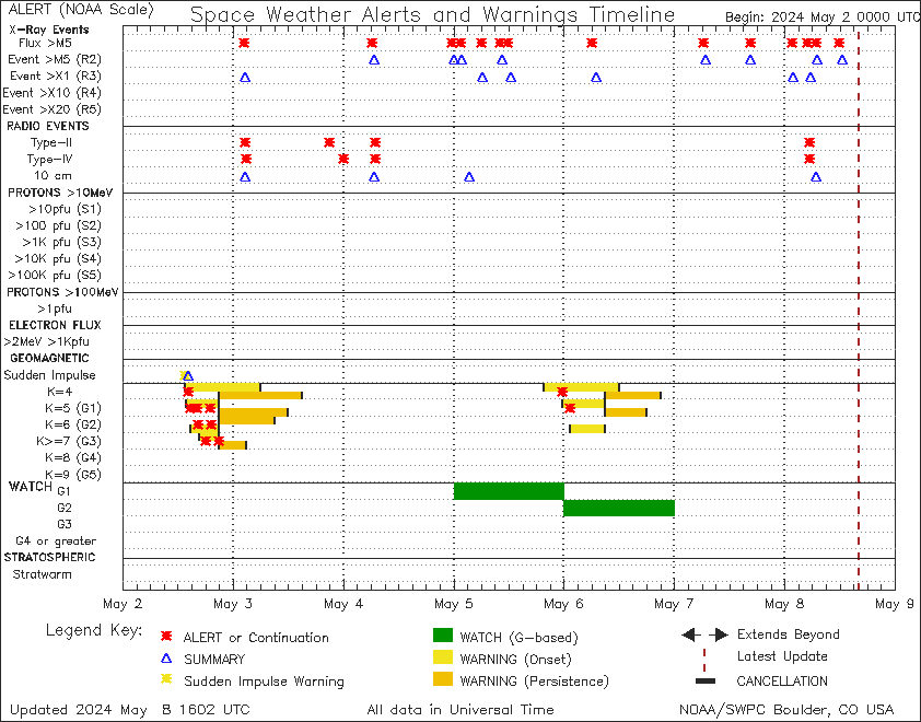
Expect minor to moderate radio blackouts, possible radiation storms, and enhanced solar wind over the next few days, with geomagnetic activity increasing on November 30th. Solar activity remained low with only a C5.3 flare being produced by Region 3908. There is a chance for minor to moderate radio blackouts over the next few days. The electron flux is expected to remain normal to moderate, while there is a slight chance for proton flux to reach minor radiation storm levels. Solar wind parameters are likely to remain enhanced due to CH HSS influence, with mostly quiet geomagnetic conditions expected. Overall, the forecast predicts minor enhancements from CMEs that left the Sun on 25 Nov and 27 Nov. More details...
This is a beta-test product and should not be used as the sole basis for decision-making. Be sure to double-check all facts before using the social media helper. Please let us know how we can improve the briefing at konnex.ai/feedback. If you no longer wish to receive the briefing, unsubscribe at konnex.ai/unsubscribe.
Click here to view our Privacy Statement.